
Telangana Political Chart Manufacturer,Supplier and Exporter in India
Product Code : JA-SMP-3321
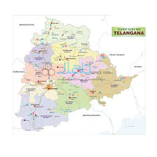
The Telangana Political Chart (SKU JA-SMP-3321) is a wall chart on the map of Telangana for geography teaching. It is a laminated wall map chart of Telangana for geography lessons; the map content is confirmed on the quotation. Laminated, this Telangana political map hangs in a classroom as one large shared reference for school geography and social studies classes.
Specifications
The Telangana Political Chart measures 70 x 100 cm and is laminated; the table lists only the values recorded for SKU JA-SMP-3321.
| Product | Telangana Political Chart |
| SKU | JA-SMP-3321 |
| Size | 70 x 100 cm |
| Lamination | Laminated |
| Language versions | English only or regional language only (separate versions) |
| Chart series | State Maps Political |
Applications of the Telangana political map
- Map reading and location work on Telangana
- Geography revision with one large map for the whole class
Scope of supply and ordering
One laminated chart of 70 x 100 cm is supplied per unit, and other titles from the State Maps Political series can be added to the same order. Quantities, packing and lead time are set out on the quotation.
Frequently asked questions
Which language versions of the Telangana Political Chart are available?
It is listed in an English-only version and a regional-language-only version; state the one needed when ordering.
What size is the Telangana Political Chart?
It measures 70 x 100 cm and is laminated.
Related products
- Sikkim Chart
- Assam and N.E. States Chart
- Andhra Pradesh Political Chart
- Bihar Political Cum Physical Chart
The full State Maps Political range lists every chart in this series.
Request a quote
Send an enquiry for the Telangana Political Chart (SKU JA-SMP-3321) with the quantity and delivery destination through the JaincoLab contact page. Tender and project enquiries can be sent through the tenders page.


